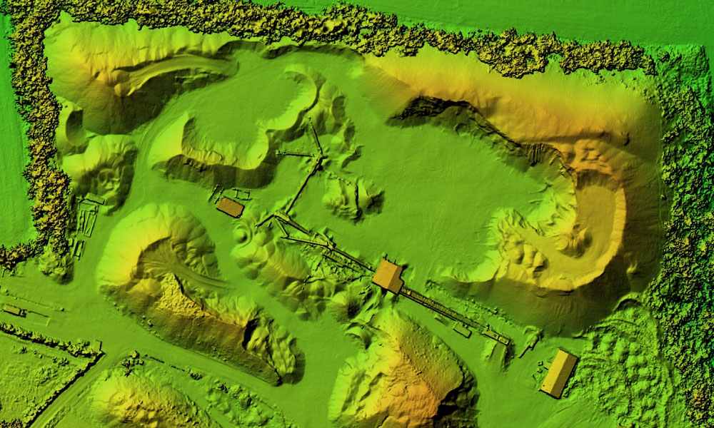
On the exploration geophysics side this include carrying out DTM, DEM, using drones, carrying aeromagnetic, EM survey using drone, Gravity survey, Resistivity survey,3D modelling of resource, Geological modelling of resources, remote sensing survey, radiometric survey, archaeological survey, reservoir modelling, fault modelling, seismic survey modelling, all geophysical data processing, modelling and report generation.
Primus is well-versed with evolving drone technology engaged in geological / geophysical studies.